What is TrailScout?
TrailScout is a trekking and hiking app for iOS and Android, built for India's Sahyadris, Western Ghats and Himalaya. It combines trail guides and condition reports, offline maps that download when you save a trail, recording with time, distance, pace and elevation, group treks with a QR-code lobby and a live group map that works over Bluetooth without network, and one-tap SOS that sends your location by SMS and alerts nearby phones.
What you get
- Trail guides for IndiaRoutes across the Sahyadris, Western Ghats and Himalaya with difficulty, season, elevation and recent condition reports from other trekkers.
- Offline maps by defaultSave a trail and its map downloads to your phone. GPS keeps working with no signal, so navigation and recording carry on.
- Treks as a groupThe host opens a lobby, friends scan a QR code, and recording starts on every phone at once. The group map shows the leader, the back and the gap.
- Safety when there's no networkPhones relay each other's location over Bluetooth. SOS sends an SMS with your location and broadcasts to nearby phones, repeating every 2 minutes.
- Pace-matched time estimatesTime estimates adjust to your own pace, so a five-hour trek is five hours for you, not for an elite runner.
- Peak passport and recordsA dated stamp for every summit, personal records on every trail and leaderboards with friends.
Why a dedicated app
General map apps are built for roads. On a trek you need the trail itself, what it is like this week, and a way to keep a group together where there is no signal. That last part is where most trekking apps stop and where TrailScout starts.
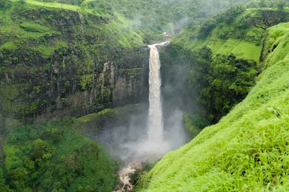
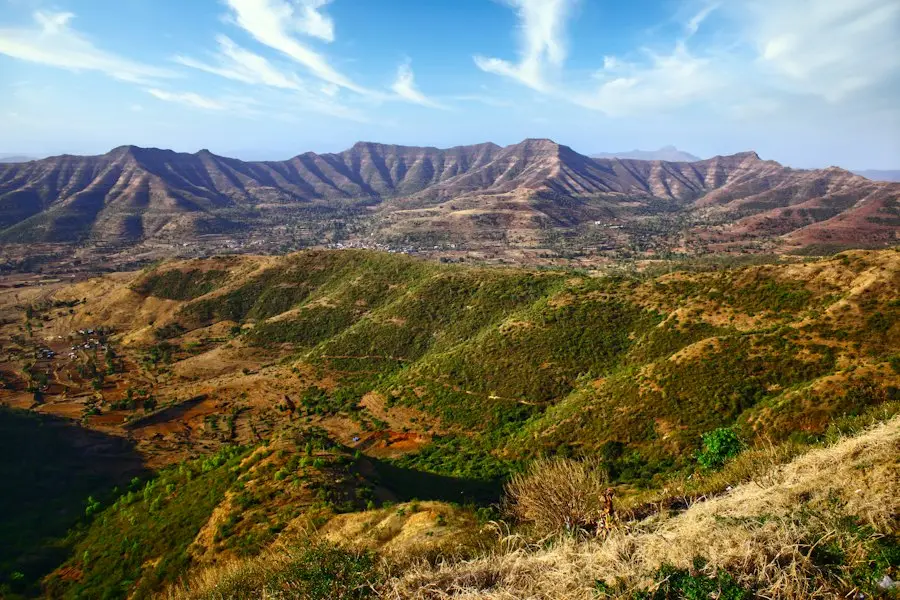
Most popular hiking apps were designed around trails in North America and Europe. TrailScout is built around Indian treks: monsoon fort climbs near Pune and Mumbai, Western Ghats forest treks that need permits, and Himalayan routes above 4,000 m.
How it works
- Pick a route. Browse trails nearby or anywhere, filter by activity and difficulty, and save the offline map.
- Gather the crew. Go solo, or host a group: friends scan your QR code and you start everyone at once.
- Go, with backup. Record with big, readable stats; the group map shows who is ahead and behind; SOS is one tap away.
- Share the finish. Elevation chart, photos and XP; stamp the peak in your passport.
Comparing apps?
See our honest roundup: Best Trekking Apps for India (2026): Offline Maps, Safety & Trails.
Frequently asked questions
What is the best trekking app for India?
It depends on what you need. TrailScout is built for Indian trails and for trekking in groups without network: offline maps, a group map over Bluetooth and SOS. Map-only apps such as Maps.me or OsmAnd are good for offline base maps, and Komoot or Gaia GPS are strong for route planning. See our comparison of trekking apps for India.
Does TrailScout work offline?
Yes. Saving a trail downloads its map, and recording and navigation work without network. Group location is shared over Bluetooth when there is no signal.
Can I use TrailScout for Himalayan treks?
Yes. It covers multi-day Himalayan treks such as Hampta Pass, Kedarkantha and Sandakphu, where long stretches have no network.
Is TrailScout available on Android and iPhone?
Yes, TrailScout is a mobile app for Android and iOS.
More: Off-road app · Trail running app · Offline maps app · Trek safety & group tracking app · Trail guides