
 On foot
Hike & trek
Day hikes, fort climbs and multi-day Himalayan treks, with pace-matched time estimates.

Hike · Run · Ride · Off-road · Camp
TrailScout is one app for every trail: mountain treks, morning runs, forest rides and off-road tracks. Find the route, bring your people, and stay connected when the signal drops.
Every terrain
Choose your activity when you start, and TrailScout adjusts the routes, stats and pace estimates to match. Whatever you do, the same safety tools come with you.
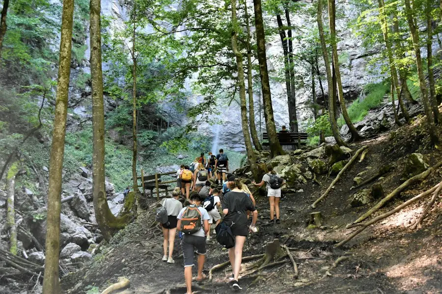
On foot
Day hikes, fort climbs and multi-day Himalayan treks, with pace-matched time estimates.
 On foot
Forest loops and ridge runs with live pace, splits and personal records for every route.
 On wheels
4x4 and dirt-bike tracks with grade, vehicle fit, and the latest reports on crossings.
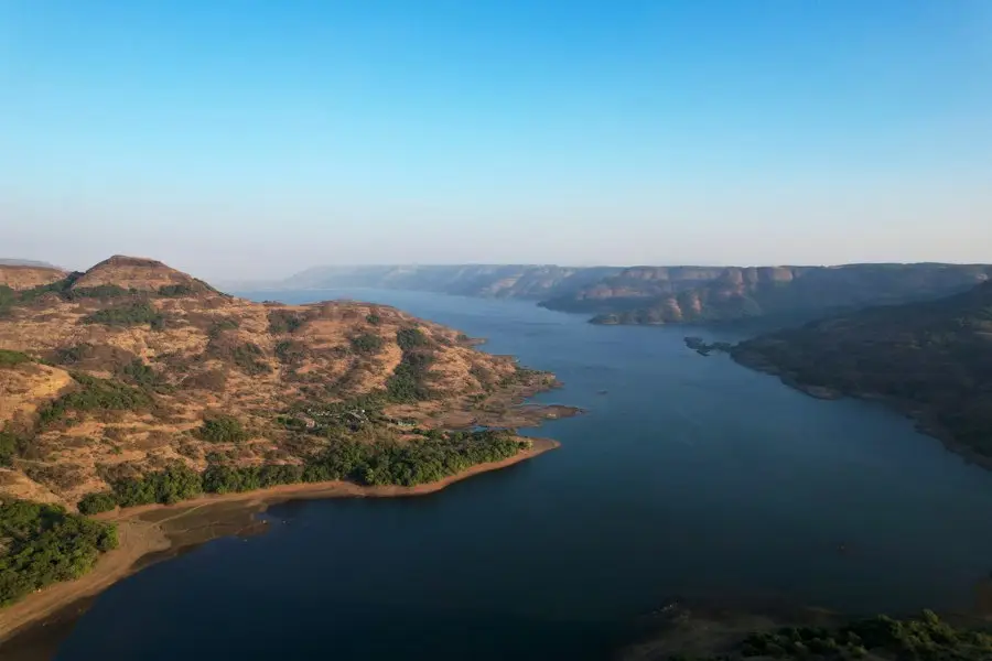 Overnight
Find camp spots along a route and keep your group on the map overnight.

Off-road trails
Find 4x4, dirt-bike and gravel tracks with the details drivers ask about. Drive them as a convoy on the group map, with offline navigation the whole way.
Graded from smooth gravel to rocky climbs, so you know what you’re driving into.
See whether a route suits an SUV, a 4x4 or a dirt bike before you set out.
Water crossings, washouts and closures, posted by the last people through.
Every vehicle on one map. See who’s last in line and regroup at the next turn.
How it works
You can plan, record and share an outing in the same app, whether it’s a two-hour run after work or a five-day Himalayan trek. Each step below is one part of the app.
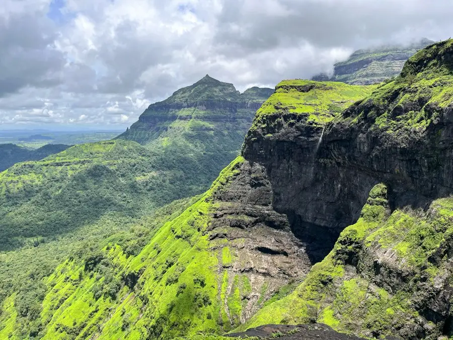
Browse trails nearby or anywhere, filter by activity and difficulty, and read the latest condition reports. Save the offline map in one tap.

Go solo, host a group or join one. Friends scan your QR code at the trailhead, join the lobby, and you start everyone at once.
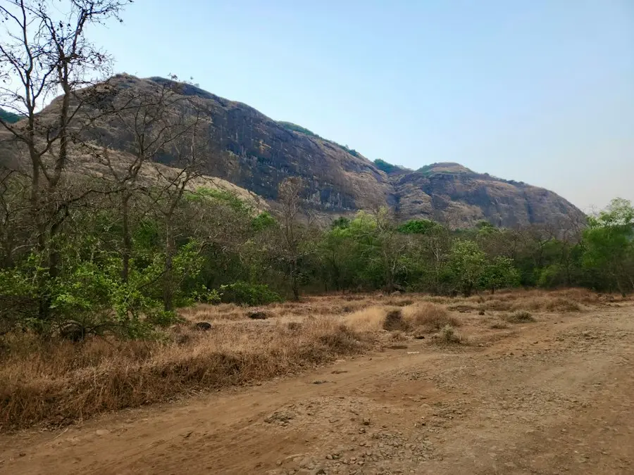
Big, sunlight-readable stats while you record. The group map shows who’s ahead and who’s at the back. SOS is always one tap away.
Your summary has the elevation chart, photos and XP. Post it to the feed, stamp the peak in your passport, and climb the leaderboard.
Everything in one app
Here is everything TrailScout does, grouped by when you’ll use it: before you go, on the trail, if something goes wrong, and after you get back.
Before you go
On the trail
If something goes wrong
After you’re back
01 — Discover
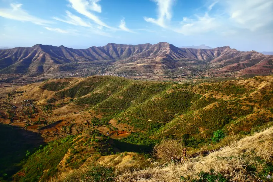
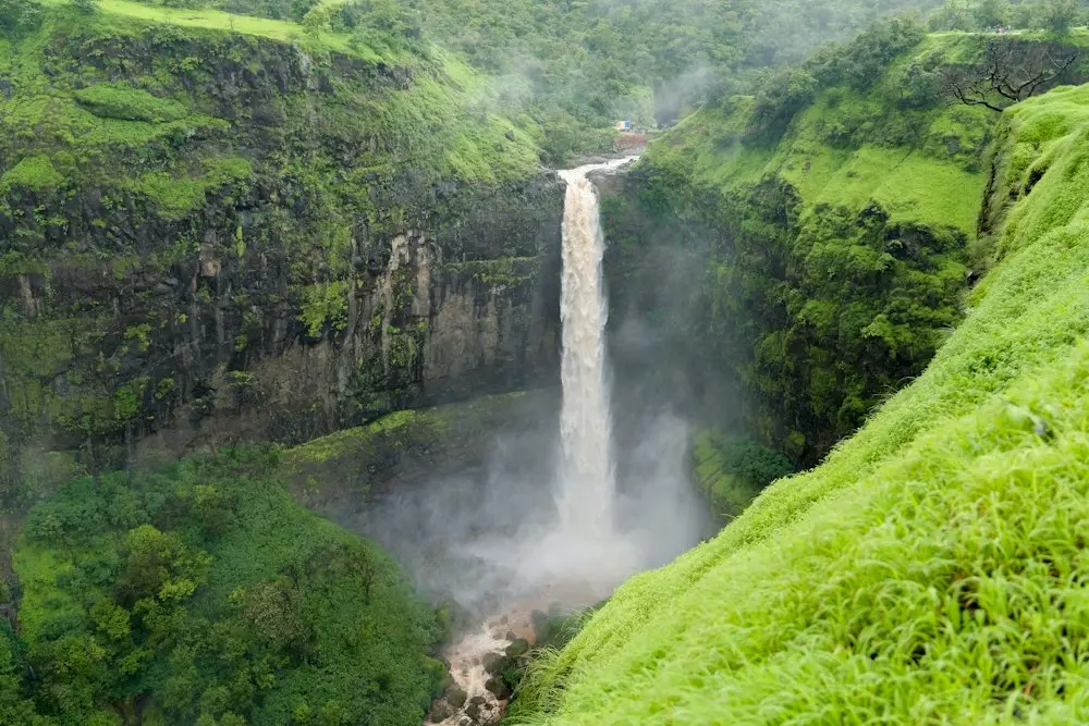
Routes across the Sahyadris, Western Ghats and Himalaya, matched to your pace. Check the latest conditions, fly over the route in 3D, and save the offline map before you leave home.
 Moderate
Offline map ready
Moderate
Offline map ready
 Hard · 4x4
“Slippery after the second waterfall. Ladder section is fine.”
02 — Group outings
See where friends and groups have been, then plan the next one together. Starting a group trek, ride or convoy takes three steps.
STEP 1
The host gets a QR and a short code to share in a chat or show at the trailhead.
STEP 2
Each person appears in the lobby as they join. Lock the list when everyone is there.
STEP 3
Recording starts on every phone at once. At the end, TrailScout shows who isn’t back yet and offers to wait.

03 — Safety
Live location for your group and one-tap SOS, even without signal. When the towers drop out, the phones in your group pass location and alerts to each other over Bluetooth.
SOS sends an SMS with your location to your emergency contacts and broadcasts over Bluetooth to nearby phones.
After you send it, your location goes out again every 2 minutes until you tap “I’m safe”.
Turn it on and TrailScout checks on you if you haven’t moved for 45 minutes.
Phones in a group relay each other’s location with no network, so the group map keeps working in the valley.
04 — Peak passport
Each summit you finish adds a dated stamp to your passport, grouped by region. Personal records track your best time on every trail and compare it with your friends.
05 — Guides & events
Book verified local guides by the day and pay after the trek. Or join an open event near you and meet your next crew on the trail.
Questions
No. You can record hikes, trail runs, rides, off-road drives and camps. Routes, stats and pace estimates adjust to the activity you pick, and the safety tools work the same for all of them.
Yes. Save a route and its map downloads to your phone, so navigation and recording keep working offline. In a group, phones share location with each other over Bluetooth when there’s no network.
Off-road tracks show a grade, which vehicles they suit, and recent reports on crossings and closures. Drive them as a convoy using the group map to keep every vehicle in view.
The host opens a lobby and gets a QR code and a short code. Friends scan the QR or type the code to join. When everyone is in, the host taps Start for everyone and recording begins on every phone.
TrailScout sends an SMS with your location to your emergency contacts and broadcasts an alert over Bluetooth to nearby phones. It repeats every 2 minutes until you tap I’m safe.
Yes. Verified local guides list their speciality, languages and price. Pick a date and group size, and you pay after the trek.
TrailScout has routes across the Sahyadris, the Western Ghats and the Himalaya, including Kalsubai, Harishchandragad, Rajmachi, Triund, Hampta Pass, Kedarkantha, Sandakphu, Spiti and Ladakh off-road tracks. You can also browse trails anywhere and draw your own route.
Yes. TrailScout is a mobile app for iOS and Android.
Get TrailScout on iOS and Android, then save your first route.