- Highest point
- ~1,312 m
- Difficulty
- Easy – moderate
- Time
- 2–4 h
- Base
- Atkarwadi / Kondhanpur
- Best season
- Year-round (early mornings)
- Activity
- Hike · Trail run
Sinhagad at a glance
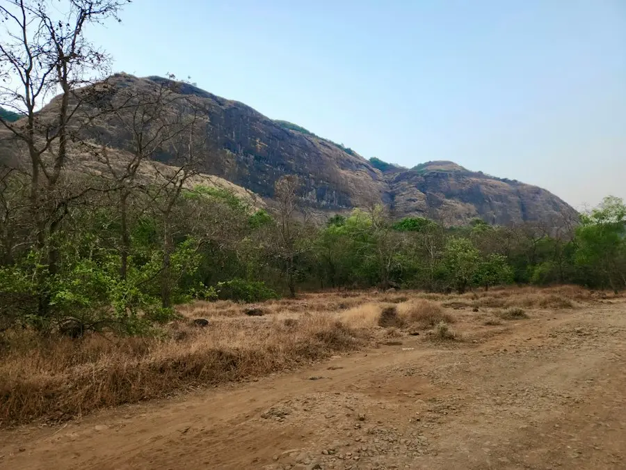
Sinhagad is a hill fort of about 1,312 m roughly 30 km southwest of Pune, famous for the 1670 battle in which Tanaji Malusare captured it for the Marathas. Its steep foot trails from Atkarwadi and the Kondhanpur side are among the most popular hiking and trail-running routes around Pune, and there is also a road almost to the top.
Hiking and running routes
The trail from Atkarwadi is the classic route: steep, rocky and direct, popular for training runs and early-morning hikes. Routes on the Kondhanpur side are quieter.
Because the climb is short and steep, Sinhagad is a good place to track your pace and personal record over time.
When to go
Sinhagad can be hiked year-round. Early mornings are best: cooler, quieter and with the best light. In the monsoon the top is often in cloud and the trails are slippery.
Safety notes
Weekend crowds and traffic on the road to the top can be heavy. Runners should watch for loose rock on the descent.
If you are training alone, share your live location with someone at home.
Check before you go. Permits, access rules, camping regulations and trail conditions change. Confirm the current situation with the local forest department or administration, check the weather, and read recent condition reports before you set out.
Frequently asked questions
How far is Sinhagad from Pune?
It is roughly 30 km southwest of central Pune.
Is Sinhagad good for trail running?
Yes. The steep, short trails from Atkarwadi are a favourite for Pune trail runners and hill training.
Can you drive to the top of Sinhagad?
There is a road almost to the top, though access rules for private vehicles can change. Check before you go.
Last updated 2026-10-17.